Ecosystems Along the Surf Coast Walk
When I first laced up my boots for a day on the Surf Coast Walk, I thought I knew the Great Ocean Road — cliffs, beaches, the odd café at Aireys Inlet. But within a few kilometres, I realised I was walking through a patchwork of living ecosystems — dunes that breathe, heathlands that burn and bloom, and woodlands that hum with bird life. These ecosystems connect Bells Beach, Point Addis Marine National Park, Anglesea River, Aireys Inlet, and eventually blend into the Great Otway National Park.
Coastal Dune Systems — Nature’s Wind-Built Walls
Heathlands — The Floral Firekeepers
Beyond the dunes lies the coastal heathlands. Low, colourful shrubs form a buffer between dunes and woodland, thriving in sandy soils.
After winter rains, the heath bursts into colour — pinks, purples, and yellows of wattles, banksias, and tea-trees. These fire-adapted ecosystems need occasional burns to regenerate, but too-frequent fires can wipe out plant communities.
They’re home to small marsupials, skinks, and birds — some rare or endangered. The elusive coastal emu once roamed here before European settlement fragmented their habitat.
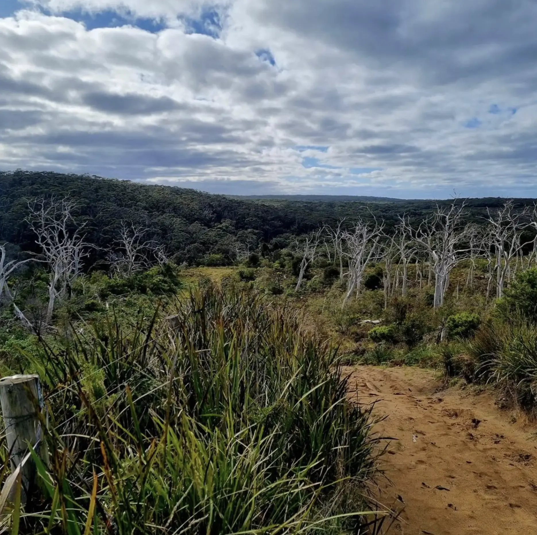
Eucalypt Woodlands — Shade, Scent, And Song
Rock Platforms And Intertidal Zones — Life Between Tides
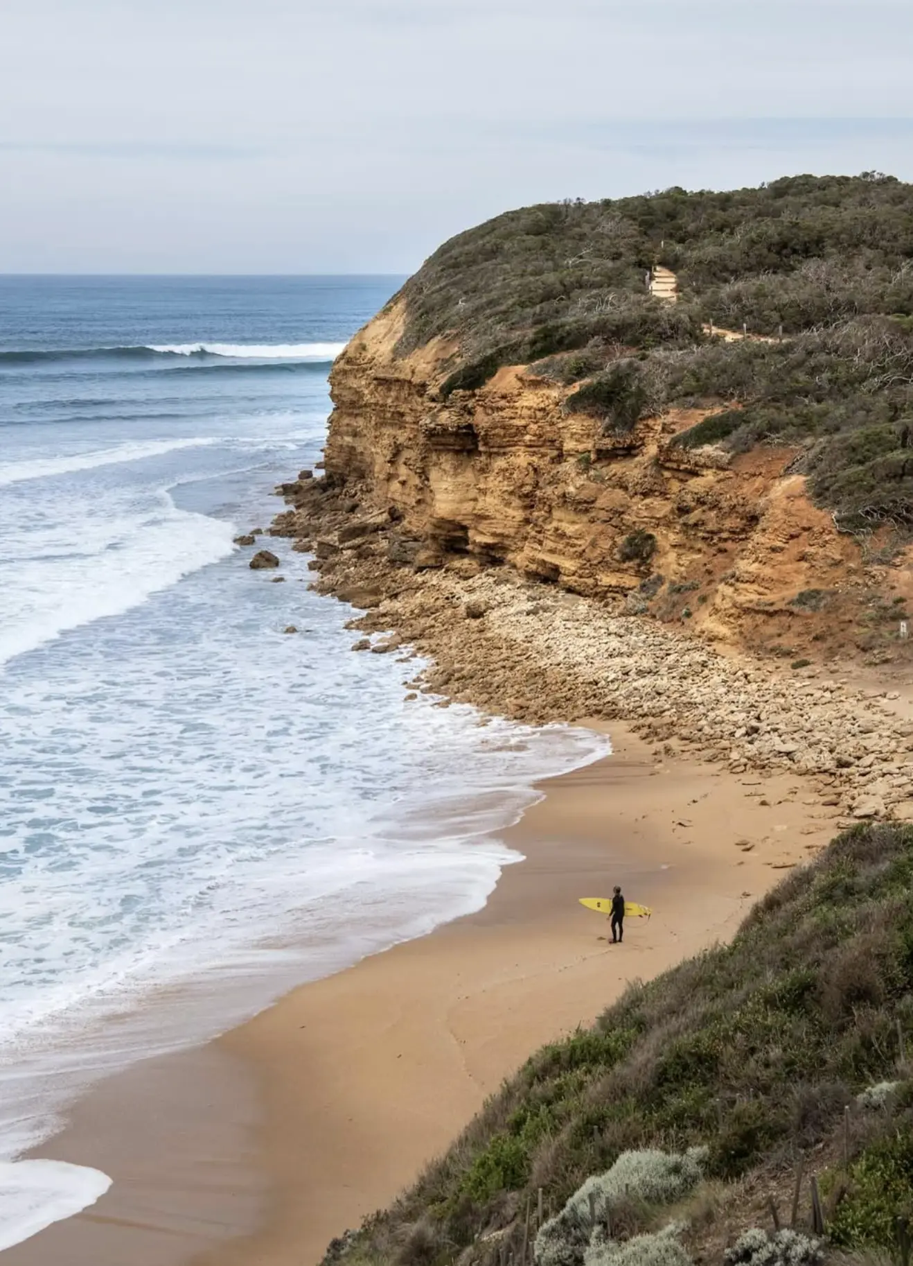
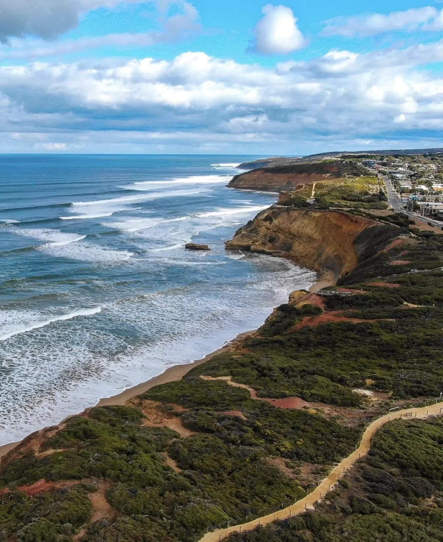
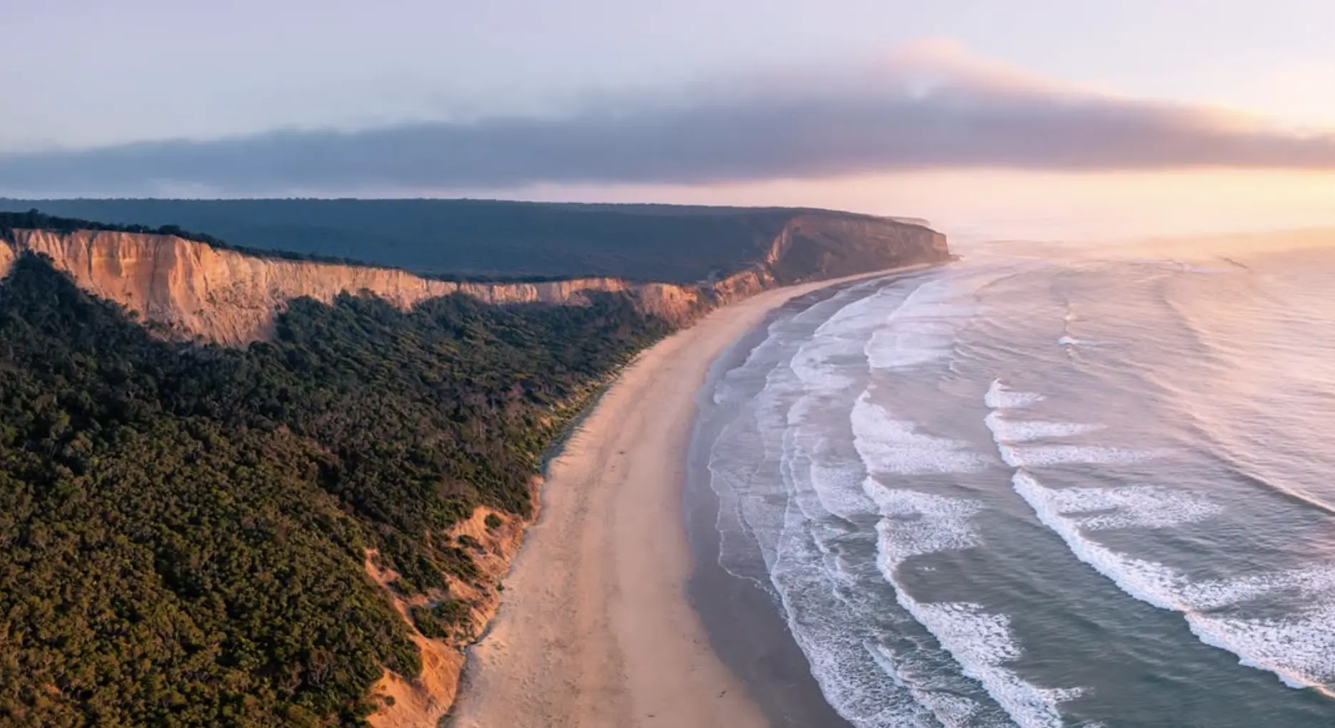
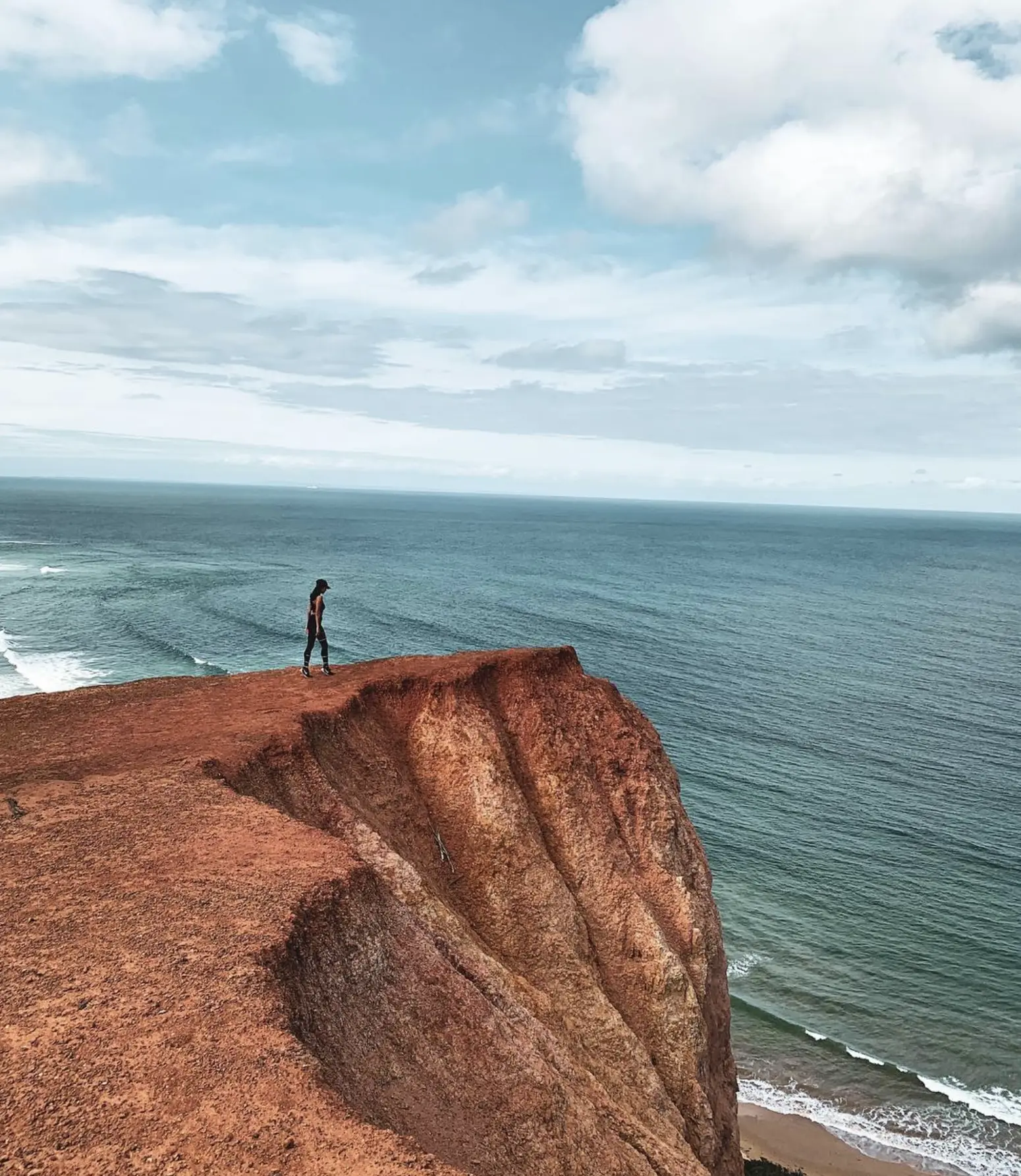
Coastal Cliffs And Headlands — Nature’s Edge
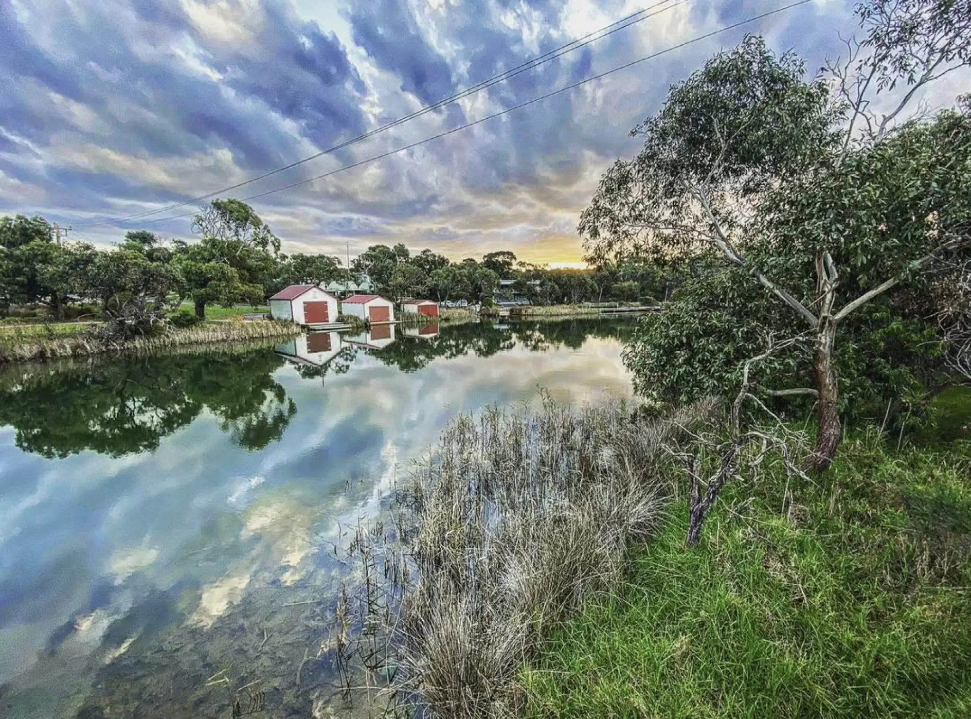
Rivers, Estuaries And Wetlands — The Water Threads
Wildlife Along The Walk
The Surf Coast Walk overlaps with some of southern Australia’s most biodiverse areas:
- 48 threatened bird species
- 16 threatened mammals
- 5 reptiles
- 3 fish
- 3 amphibians
- 8 invertebrates
Look out for echidnas in the woodlands, wallabies in the heath, and seals at Point Addis Marine National Park. During winter, migrating humpback whales and southern right whales pass offshore. Birdwatching tip: cliffs near Cape Otway and Aireys Inlet are hotspots for kestrels, wedge-tailed eagles, and nesting seabirds.
Threats To The Surf Coast Ecosystems
How To Walk Responsibly — And Enjoy It
- Stay on marked tracks: Trampling off-path kills native plants and accelerates erosion.
- Avoid cliff shortcuts: unstable and dangerous.
- Carry reusable water bottles: avoid plastic in dunes.
- Respect cultural sites: walk with awareness on Wadawurrung Country.
- Check fire and park alerts before you go.
- Support local conservation: buy coffee from eco-friendly cafés in Apollo Bay or Anglesea that donate to dune restoration.
The Surf Coast Walk connects to the Great Ocean Walk, the Otway National Park, and the wild cliffs of Port Campbell National Park. Your steps matter.
Seasonal Changes Along The Walk
Spring: wildflowers burst; birds nest; creeks run clear.
Summer: bring sunscreen and water; dunes dry out; snakes bask.
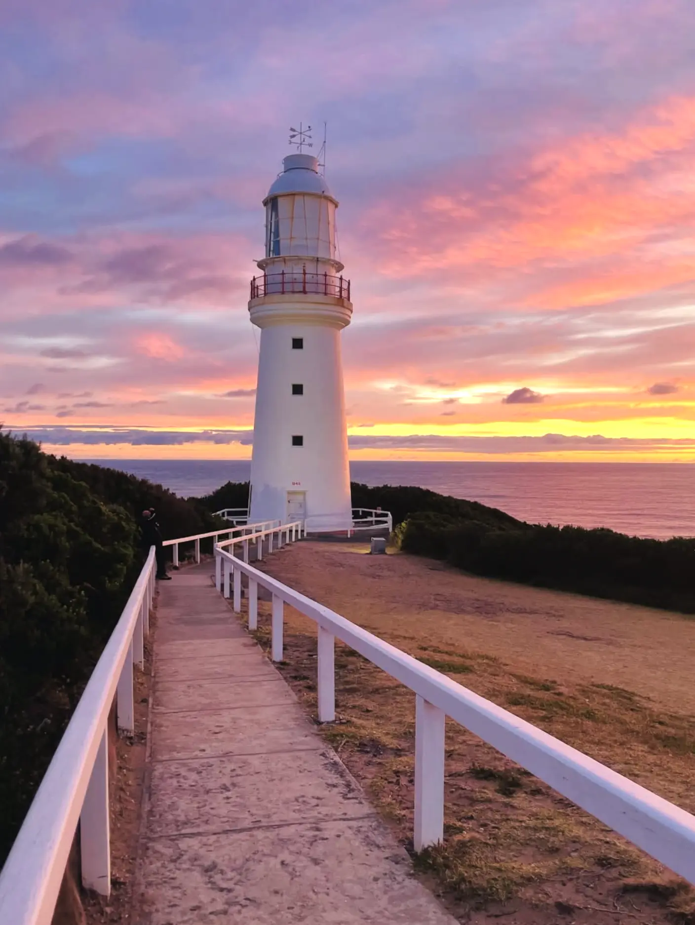
Autumn: milder days, calmer seas, fungi bloom near Otway Lightstation.
Winter: swells pound Bells Beach; wetlands brim; whales migrate past Cape Otway.

A Personal Yarn
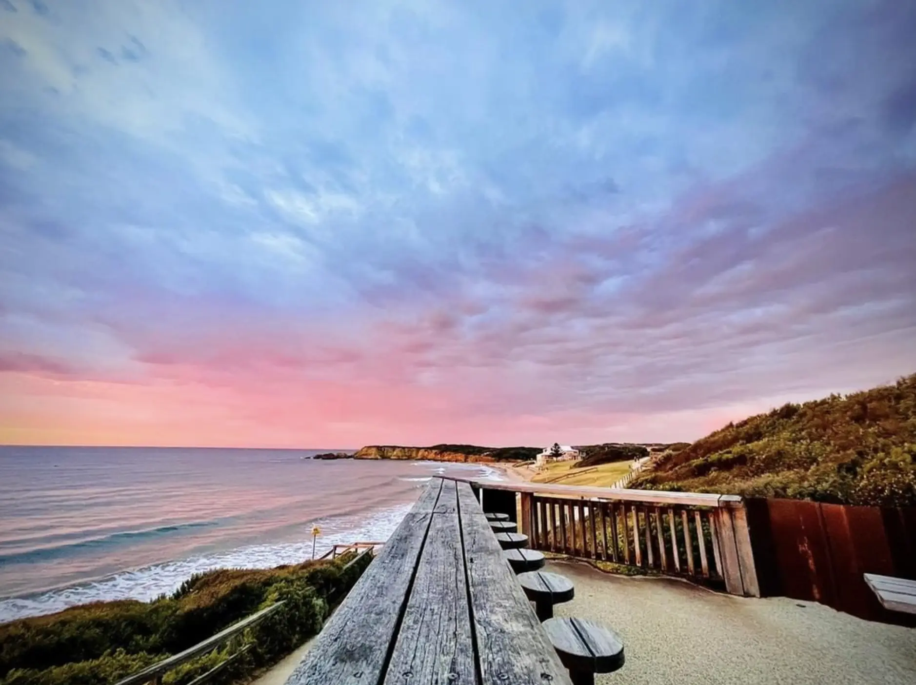
Near Aireys Inlet, dawn light turned Eagle Rock Marine Sanctuary cliffs gold. Surf below Bells Beach hissed like a giant kettle. Hooded plovers scuttled between tide lines — a reminder of how fragile it all is.
Later, a family asked if the track ahead was “safe for prams.” I grinned: “Safe, sure — just don’t let the mozzies hitch a ride.” This walk isn’t about ticking off landmarks — it’s about tuning into the pulse of Country. Every dune, tree, and tidepool is part of an ancient conversation.
For guided experiences, check out Phillip Island Tour, which partners with local operators for small-group coastal tours.